
With a plethora of hiking trails in Tuscarora Lodge and Canoe Outfitters’ Gunflint Trail backyard, it’s no surprise that we’re frequently asked for hiking recommendations. More often than not, hikers want to know which trail we prefer: Centennial or Magnetic Rock?
On paper, the two hikes appear pretty similar: Magnetic Rock is a 3 mile round trip easy hike, versus Centennial’s 3.3 mile moderate loop and their parking lots are kitty-corner from each other on the Gunflint Trail. I’ve made my preference for Centennial well known. While there’s nothing wrong with Magnetic Rock Trail (and the concept of a three-story tall rock that you can stick magnets to and that can spin around your compass is pretty impressive), I’ve just always found the Centennial Trail a more interesting and invigorating hike.
But sometimes, all you need to get re-excited about a destination is to completely flip around how you go about getting to that destination.
When my family was up earlier this month, we decided to get to Magnetic Rock . . . backwards. We left one vehicle at the Magnetic Rock parking lot and then all six of us piled into the truck to park at the Superior National Forest’s Border Route Trail pull-off on Warren’s Road (Gunflint Narrows Road, USFS 1347). To find the pull-off, drive down Warren’s Road about one mile, right past/through the gravel pit and then down the narrow, one-lane road a little ways. You should spy the Border Route sign just north of the small parking area which has room for two compact cars or one large pick-up truck.


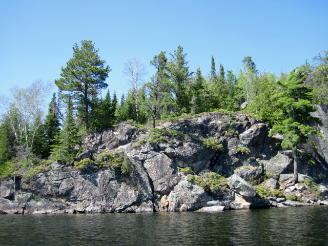
 The first mile of the hike cuts across a rock outcropping which offers beautiful panaramic views of Gunflint Lake to the southeast. You can spy the cliffs on Arrow and Rose Lakes at some spots on the trail in this section. Just beyond the trail on the north side lies a deep valley.
 Of course, you can only walk on the rim of a valley for so long; eventually you’re going to have to go through it. We did the hike on the first sunny day after a week of drizzle and although there was only one significant wet section of about 30 feet, it was very mucky. If you do this hike in the spring or late fall, definitely wear waterproof footwear. You also might like to have a hiking stick for additional stability in this section.
Once you cross through the little slough, you’ll hike about another half mile, mostly through lower ground and then, if you’re looking carefully, you’ll be able to spy the tippy top of Magnetic Rock to the northwest.


It’s a 1.8 mile hike from the parking area on Warren’s Rock to Magnetic Rock. From Magnetic Rock, it’s another 1.5 mile hike out to Magnetic Rock parking lot on the Gunflint Trail for a 3.3 mile hike total. Past Magnetic Rock, there are several more stunning overlooks to the north, as well as many groves of healthy jack pine saplings.
 This is a great hike for a big groups because you really need two cars to pull off the hike (unless you just want to get to Magnetic Rock and turn around) and because the hike never crosses into the Boundary Waters Canoe Area Wilderness so you don’t need to limit your group size to nine people to comply with U.S Forest Service regulations. When you reach the Magnetic Rock parking lot, you’ll have to send two people to fetch the vehicle on Warren’s Road, but the rest of the group can continue hiking towards Tuscarora by heading down the Gunflint Trail and then cutting down the snowmobile trail that connects the Gunflint Trail and the Round Lake Road. If you hike all the way back to Tuscarora, it’s a perfect 5 mile hike.


