Category: Gunflint Trail Winter

Winter is a special time of year at Tuscarora Lodge and Canoe Outfitters. In the winter season, life slows down and we enjoy the Boundary Waters in all its icy and snowy glory.

A Guide to Winter Parking on the Gunflint Trail

North Gunflint Lake Snow Plow Turnaround
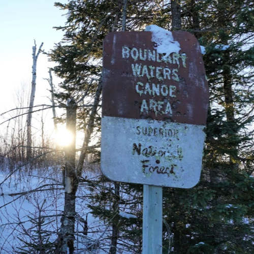
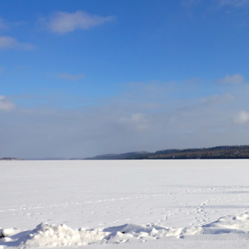
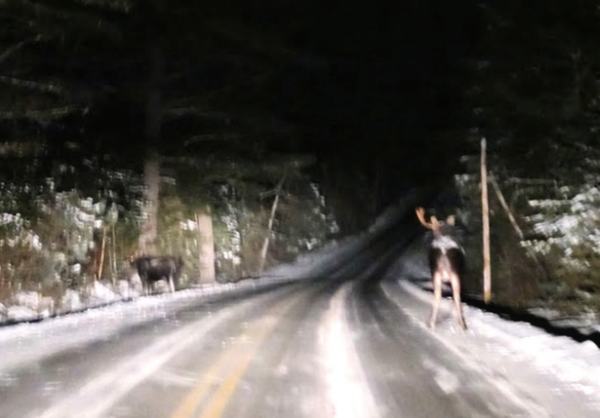
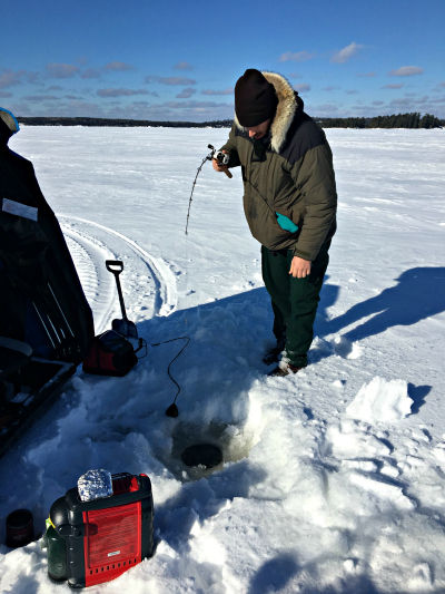
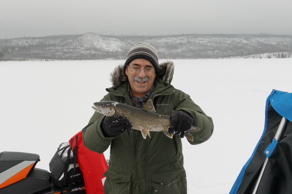
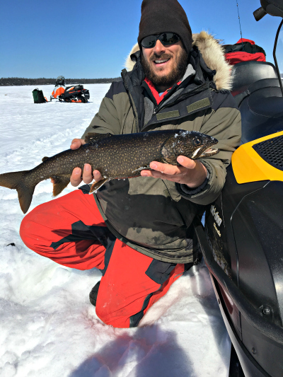
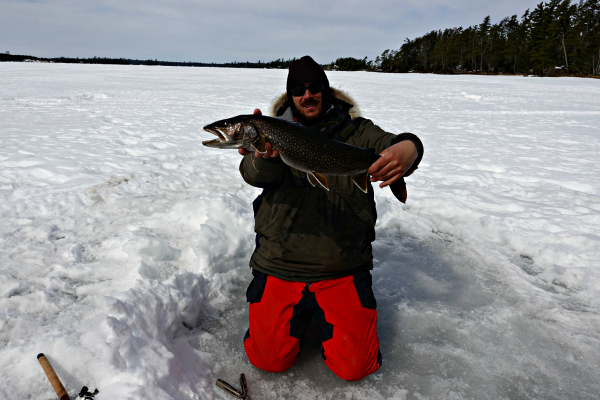
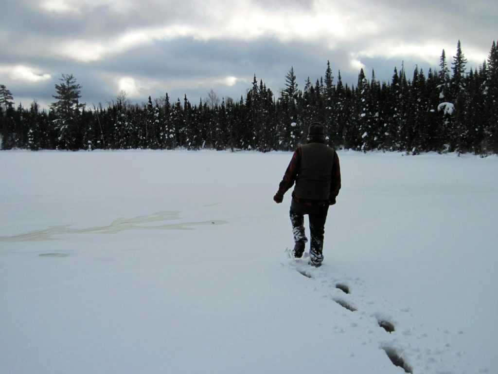
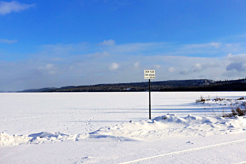
Before heading up the Gunflint Trail for winter camping or ice fishing, make sure you know where to park. Winter parking on the Gunflint Trail often surprises first-time winter visitors because many of the public landings used for summer Boundary Waters trip starts aren’t plowed out. In fact, parking on the Gunflint Trail in the winter can feel like a kind of wink-y, “gotta be in the know” sort of situation.

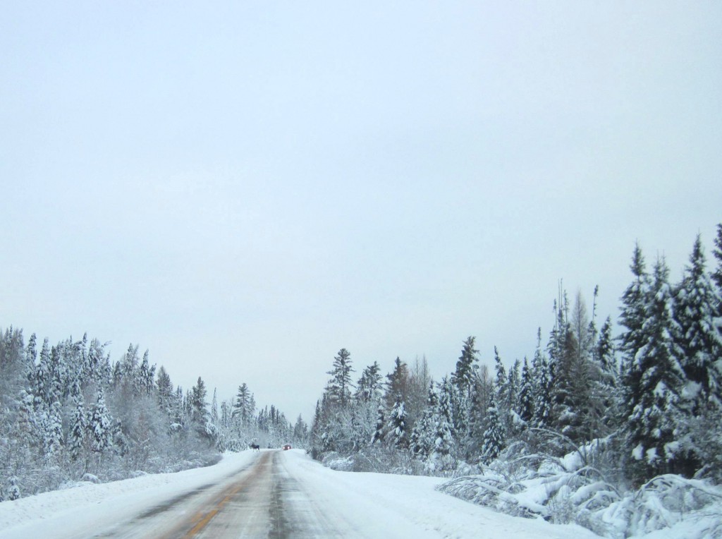
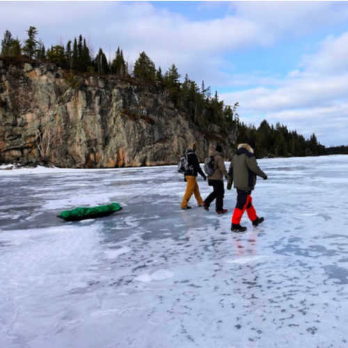
Since getting all confused by parking right out of the gate isn’t the most auspicious start to the perfect winter camping trip or day trip, we’ve put together a handy guide to winter parking on the Gunflint Trail for every Gunflint Trail Boundary Waters entry point. If you’re a visual person, check out our video tour of Gunflint Trail winter parking areas. 

Winter parking can be confusing on the Gunflint Trail. Give us a call at 218-388-2221 with any questions you have about it. We can help point you in the right direction, regardless of which Gunflint Trail BWCA entry point you’re using. 

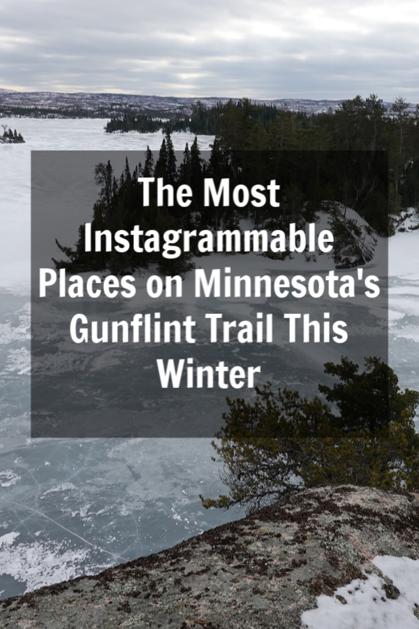
Gunflint Trail Parking Guide for Winter Campers and Winter Boundary Waters Visitors

BWCA Entry Point Public Landing Winter Status Winter Parking notes
#43 Bower Trout Not plowed Two options for winter parking: The South Brule snowmobile trail parking lot off the Gunflint Trail just south of the Greenwood Lake Road. There is also frequently a small parking area plowed out on Forest Service Road 152 (Lima Mountain Road) with room for a couple cars. Due to the distance between parking areas and entry points, access without a snowmobile is very difficult. 
#44 Ram Not plowed Two options for winter parking: The South Brule snowmobile trail parking lot off the Gunflint Trail just south of the Greenwood Lake Road. There is also frequently a small parking area plowed out on Forest Service Road 152 (Lima Mountain Road) with room for a couple cars. Due to the distance between parking areas and entry points, access without a snowmobile is very difficult. 
#45 Morgan Not plowed Two options for winter parking: The South Brule snowmobile trail parking lot off the Gunflint Trail just south of the Greenwood Lake Road. There is also frequently a small parking area plowed out on Forest Service Road 152 (Lima Mountain Road) with room for a couple cars. Due to the distance between parking areas and entry points, access without a snowmobile is very difficult. 
#64 East Bearskin Not plowed Contact Bearskin Lodge at 218-388-2292 in advance to make parking arrangements
#62 Clearwater Plowed Sometimes there’s parking lot plowed on the lake off the public landing. If not, make sure to park as far south as possible in the lot to allow enough room for the county snow plow to turn around. Contact Clearwater Lodge at 218-388-2254 with any questions. 
#60 Duncan Plowed For easiest/fastest access, use public parking lot at the very end of County Road 21 (Hungry Jack Lake Road)
#61 Daniels Plowed For easiest/fastest access, use public parking lot at the very end of County Road 21 (Hungry Jack Lake Road)
#47 Lizz and Swamp Not really plowed Best option call a Poplar Lake business (Trail Center, Nor’wester, Poplar Haus, Big Bear Lodge, or Rockwood) to make parking arrangements. There is a very small parking area plowed out at the start of the Poplar Public Lake Access Road off of County Road 92 with room for 1-2 vehicles max. Be careful not to block the nearby driveway. 
#48 Meeds Not really plowed Best option call a Poplar Lake business (Trail Center, Nor’wester, Poplar Haus, Big Bear Lodge, or Rockwood) to make parking arrangements. There is a very small parking area plowed out at the start of the Poplar Public Lake Access Road off of County Road 92 with room for 1-2 vehicles max. Be careful not to block the nearby driveway. 
#49 Skipper and Portage Not really plowed Best option call a Poplar Lake business (Trail Center, Nor’wester, Poplar Haus, Big Bear Lodge, or Rockwood) to make parking arrangements. There is a very small parking area plowed out at the start of the Poplar Public Lake Access Road off of County Road 92 with room for 1-2 vehicles max. Be careful not to block the nearby driveway. Portage Lake can also be accessed by parking at the Little Iron Lake parking lot off the Gunflint Trail. 
#58 South Technically plowed Most winter visitors to South access the lake via the Mayhew Lake Rd. Small parking lot plowed off the Gunflint Trail – be sure not to park anyone in. 
#57 Magnetic Technically plowed Not a recommended winter destination due to bad ice from moving current
#50 Cross Bay Not plowed Not a recommended winter destination due to bad ice from moving current
#51 Missing Link Not plowed A parking area is plowed out at the start of the Round Lake Public Access Road off of County Road 47 (Round Lake Road) with space for 4-5 vehicles. Parking also often available at Tuscarora Lodge and Canoe Outfitters (218-388-2221) if you make arrangements in advance. 
#52 Brant Not plowed A parking area is plowed out at the start of the Round Lake Public Access Road off of County Road 47 (Round Lake Road) with space for 4-5 vehicles. Parking also often available at Tuscarora Lodge and Canoe Outfitters (218-388-2221) if you make arrangements in advance. 
#80 Larch Creek Not plowed Not a recommended winter destination due to bad ice from moving current
#54 Seagull Plowed Best option: park at the Blankenburg Public Landing lot at the end of the Seagull Lake Access Road to access the southeast corner of Seagull Lake. Alternative parking is available at the entrance to End of the Trail campground, but not recommended due to bad ice on the Seagull River.
#55 Saganaga Plowed Both county parking lots for Saganaga Lake (on County Road 81/Moose Pond Drive and County Road 83/Sag Lake Trail) are plowed and free of charge in the winter months. 


Curious about parking at a specific Boundary Waters entry point off the Gunflint Trail this winter? Click on its link below for a video tour.

Seagull Campground Landing
Seagull Landing (Blankenburg)
Saganaga Lake (Moose Pond)
Saganaga Lake (Sag Lake Trail)
Missing Link and Brant (Round Lake)
Duncan and Daniels (West Bearskin)
Clearwater Lake
South Lake (Via Topper)
Lizz, Swamp, Meeds, and Skipper (Poplar Lake)
East Bearskin
Ram, Morgan, Bower Trout

The 10 Most Instagrammable Places on the Gunflint Trail in Winter

We’re hopping on the “photo or it didn’t happen” bandwagon today and rounding up our top 10 absolute favorite places to take winter photos on the Gunflint Trail. While you could absolutely take stunning photos at any of these locations year-round, we think these public spots in the Superior National Forest and Boundary Waters Canoe Area Wilderness really are at their photogenic finest under a beautiful blanket of snow.

These aren’t only the Gunflint Trail’s most scenic spots, they can also all be accessed via existing roads or hiking trails, so you can visit and photograph without worrying about creating a loved to death Instagram hotspot. Together, we can keep your followers happy by taking them along on your Gunflint Trail winter vacation while preserving the wilderness experience for future visitors. Your Instagram account will never have looked so good! 

View from Top of the Seagull Lake Palisades in the Boundary Waters

Top 10 Gunflint Trail for Instagram Photos

1) Snowy Gunflint Trail

The snow-covered Gunflint Trail Road in northern Minnesota outside of Grand Marais, MN

Let’s start with some low hanging fruit here. If you’re going to be on the Gunflint Trail in the winter, you’re going to have to drive on the Gunflint Trail in all its scenic snowy glory. If you’re looking for a spot to pull off to get a pretty shot of snow-flocked pines during your drive, consider the parking lot on the left-hand side just north of the South Brule River Bridge (approximately 19 miles up the Gunflint Trail) or the Swamper Lake pull-off (approximately 24 miles up the Trail) on the right. Remember, the Gunflint Trail Scenic Byway is a remote wilderness road, so drive carefully and watch for moose!

2) Caribou Rock Hiking Trail West Bearskin Lake Overlook

Caribou Rock Overlook on West Bearskin Lake along the Caribou Rock hiking trail on the Gunflint Trail in Cook County, MN
The Caribou Rock Hiking Trail is a seven-mile roundtrip hike in the Mid-Trail region of the Gunflint Trail, but you only need to hike the trail about a quarter mile to reach the Caribou Rock Overlook where you’ll find a spectacular eastern view of the entire length of West Bearskin Lake. Can you imagine how stunning your photos would be if you came here for sunrise? If you continue hiking, you’ll reach great vistas of Moss and Rose Lakes, eventually cross into the Boundary Waters Canoe Area Wilderness, and reach the waterfall along the Stairway Portage between Duncan and Rose Lakes. To access the trail, drive two miles down the Hungry Jack Road (Cook County Rd 65) to the public parking area. 

3) Bridal Falls on Gunflint Lake 

Frozen Bridal Falls on Gunflint Lake in winter

Located seven miles down Gunflint Lake, it’s definitely an adventure to reach Bridal Falls. Although you can access Bridal Falls from a spur trail off the Border Route Hiking Trail, the easiest way to reach this photogenic waterfall in the winter is heading down Gunflint Lake on either snowmobile or skis to the most eastern bay on the lake’s southern shore. From there, follow the (signed) path along the western side of the flowage about a 1/3 mile to the waterfall. This is a great subzero destination since the extra cold temps cause the waterfall to freeze in beautiful icy formations and the cold also knocks down any slush that could slow down your travels on Gunflint Lake. 

4) Any Boundary Waters Sign

BWCAW Entrypoint #52 Brant Lake Boundary Waters sign

Anyone can say they went to the Boundary Waters this winter, but how are we suppose to believe you if you don’t pose in front of a Boundary Waters Canoe Area Wilderness sign to mark your official entrance in the federally designated wilderness area? You’ll bump into one of these signs whenever you enter the Boundary Waters from a public access point. From Tuscarora’s location on Round Lake, the fastest sign to reach is the one along the portage from Round Lake to Missing Link Lake. You’ll run into the sign about 1/3 of the way up the 142-rod portage.

Bonus points if you can find a sign that doesn’t have the word “wilderness,” which likely means the sign was placed before the 1978 BWCAW Act. We know where two pre-1978 signs are on the Gunflint Trail. Do you?

5) Cross River along the Round Lake Road

Gunflint Trail's Cross River along the Round Lake Road near Tuscarora Lodge and Canoe Outfitters

Sure, we’re biased, but we think the most beautiful spot on the Gunflint Trail that you can reach by car is the Round Lake Road (Cook County Rd 47) when you drive along the Cross River rapids about half a mile up the road from the Gunflint Trail. We love watching how the river changes with the seasons: from rushing rapids in the spring to being almost completely ice-covered during especially chilly winters. In the early winter, moisture from the river often settles on neighboring tree branches to create exquisite hoar frost or rime. If you’re especially lucky, you might spot an otter eating its catch near the top of the rapids and even if you don’t spot the otter himself, be sure to look for otter slide tracks that almost always line the river banks in winter. After you take your photos, turn around safely by continuing up the road to the turn-off to the Round Lake Public Access or turn around at Tuscarora Lodge and Canoe Outfitters. 

6) Centennial Hiking Trail Overlook

Overlook of Gunflint Trail beaver ponds, Gunflint Trail road, and Gunflint Lake from the Centennial Hiking Trail
Besides the Magnetic Rock Trail, the Centennial Hiking Trail is a great Gunflint Trail snowshoe trail option. If you don’t want to hike the entire 3.3 mile loop, we think you get your best photo-op just a little ways up the trail from the Round Lake Rd when you come to a sweeping vista of the beaver ponds below and a glimpse of both the Gunflint Trail and Gunflint Lake in the distance. To reach the overlook, park at the Centennial Trail pull-off about 3/10ths of a mile up the road after you turn off the Gunflint Trail. To hike the entire trail, park at the trailhead’s parking lot located approximately 48 miles up the Gunflint Trail on the left-hand side.    

7) George Washington Pines

Misty George Washington Pines ten minutes outside of Grand Marais, MN offers 3.3 km hiking or cross country ski trail

Just ten minutes outside of Grand Marais, the George Washington Pines is a favorite local destination in winter for its easy 3.3 km loop groomed cross-country ski trail through a 1932 Boy Scouts red pine plantation. There’s something magical about standing in an old growth forest where every tree you see is older than you and you might just think you’re catching glances of Narnia’s Mr. Tumnus in your peripheral vision as you ski through the Pines. This is also a great place to stop if you want a photo of one those quintessential “Superior National Forest” Forest Service signs. 

8) Gunflint Lake from North Gunflint Lake Rd

Frozen Gunflint Lake looking at the U.S. and Canada in northern Minnesota's Boundary Waters

One of the easiest spots to getting a sweeping panoramic shot of a Gunflint Trail border lake is from the snow plow turnaround spot just before the Cross River Bridge on the North Gunflint Lake Road (Cook County Rd 46). From this spot, you’ll capture Canada on the left hand side and the U.S. on the right side of your photo and you’ll spy cliffs on North Lake a good ten miles off in the distance. In you swing by this spot for a photo-op, don’t forget to look behind you. The cattail marsh next to the Cross River as well as views from the bridge are absolutely beautiful in the winter! 

9) Seagull Palisades

Ice fisherman walk past the Seagull Lake Palisade Cliffs in the Boundary Waters Canoe Area Wilderness

Perhaps the most photographed spot on Seagull Lake, the Seagull Palisades located about halfway down the lake’s north shore are on of the Gunflint Trail’s most rewarding photography destinations. They look beautiful photographed from the ice below, photographed up close, or from following a trail on the west side of the cliffs to reach the top for a birds-eye view of the BWCA. You’ll have to venture into the Boundary Waters to get these photo, so don’t forget to grab a day-use permit at the Seagull Lake Public Access before you and your iPhone head out.

If you head out to the Palisades this winter, we definitely recommend approaching them from the south, since the ice is notoriously sketchy in the narrow channel  directly east of the Palisades between the lake’s north shore and an island. For this same reason, in winter, we favor using the main Seagull Lake Public Access on the southeast shore of the lake (also referred to as Blankenburg Public Landing) rather than tangling with the thin ice you can run into from the public access at Trail’s End Campground.  

10) You With A Fish

Crappie fishing in the eastern Boundary Waters off the Gunflint Trail

We’re guilty as charged: our Instagram account is mostly fish pics from about mid-December until the end of March. (Sorry, not sorry. We know what we like . . . .) One of the Gunflint Trail’s biggest winter draws is its access to world-class ice fishing and whether you’re going for lake trout, walleye, crappies, or smallmouth (hey, it’s happened!) through the ice, be sure to snap a photo of you and your fish on ice before you pop it back in the drink. #catchandrelease! 

What are your favorite places to take photos on the Gunflint Trail in the winter?

We know we skipped a few crowd favorites: Honeymoon Bluff, Magnetic Rock, and the Clearwater Palisades to name a few. Let us know in the comments below!

How Not To Hit A Moose on the Gunflint Trail

Pretty much everyone who drives up the Gunflint Trail would consider it a pretty good day if they spied a moose along the way. But sometimes vehicle/moose encounters are exciting for all the wrong reasons: locked brakes, floundering moose, muttered curse words . . . . As you might imagine, vehicle collisions with 1000+ lb moose don’t end well for either of the involved parties. While hopefully you’ll just walk away with a damaged (if not totaled) vehicle, sadly, it often the moose is injured to the point of needing to be dispatched moose. 

Just last night, Andy and I encountered a total of five moose within a two-mile stretch when driving home, so we figured it was high time we pass on some tips to make sure your next “up close and personal” with a moose isn’t too up close and personal.

Exercise special caution driving the Trail in the winter and at night 

While you could run into a moose on the Trail any time of day or season, moose are crepuscular meaning they feed at dawn and dusk and are thus most active when it’s the absolute hardest to see. It seems like moose/vehicle collisions always ratchet up in the winter and while you might point to slippery roads as the leading factor in those crashes, we actually had the most moose accidents in recent memory on the Gunflint Trail a couple years back during a stretch in late November and early December when the road was completely snow and ice free. So if moose/vehicle collision occur even on dry pavement, what was the one common denominator in those crashes? Darkness. While you’d think you’d never miss a massive animal like a moose if it was hanging out right in front of you, moose’s dark coats allow them to hide in the shadows of your high beams with surprising ease. 


Slow down on curves and the crest of hills 

I’m not sure what moose mommies and daddies are teaching their kids, but they certainly aren’t spending those precious childhood moments teaching moose babies not to play in the road. Moose have an uncanny penchant for hanging out like massive specters at the very worst places on the road. In an effort to deter moose from their middle of the road antics, the highway department doesn’t salt the Gunflint Trail except in extreme circumstances, but there’s still something about low visibility spots on the road that moose seem to find irresistible. Although 99% of the time there won’t be a moose lurking in the middle of the road when you come around a corner, you’ll be so happy you slowed down that one time your headlights are reflected back at you in two glittering moose eyeballs. 

Know your high-traffic moose areas 

Sure, the entire Gunflint Trail is moose country, but there are two very distinct locations on the Trail where you’re more likely to encounter a moose on the road. If you’re driving up the road, exercise particular caution once you cross the South Brule bridge until you reach the East Bearskin Road and again from the Mayhew Road until the Loon Lake Road. When driving in those areas, be on the lookout for fresh tracks and drive cautiously until those tracks appear to head off into the woods definitively.

Prepare for erratic behavior 

Look, no one accused Bullwinkle of being the smartest critter in the forest. (See above critique of moose parenting.) If you encounter a moose on a roadway, you might be surprised by its behavior. Sometimes moose will take off for the ditch only to double back into the road just as you’re about to pass them. They’ve been know to weave back and forth across the road for several minutes or run for a couple miles straight in front of you before finding a break in the ditch they deem acceptable for them to use to head off into the woods. Be as patient as you can and let the moose do its moosey thing without doing anything that could stress the critter out, like honking or following too closely. 

Wishing you all happy and healthy moose/vehicle encounters this winter driving season! 


Recap: 2018 Winter Lake Trout Season on the Gunflint Trail

LakeTroutBlog5

It feels a little strange to write a recap on the winter lake trout fishing season when Gunflint Trail lakes are still covered with more than two feet of ice and the entire Great Lakes region is seized in Snowpocalypse 2018. During this very long winter, lake trout season proved a very welcome diversion. Usually lake trout season’s start at the end of December correlates with when winter is really starting to sink its teeth into the Northland and by the time the season closes at the end of March, the lakes’ snow cover has often completely melted off. But this year, the season started in what felt like deep winter and ended in what still felt like deep winter, so the fact that we couldn’t ice fish for lake trout either now or in early December feels especially arbitrary. 

LakeTroutBlog7
If you follow any of our social media (Facebook or Instagram) this winter, you know we take ice fishing pretty seriously. We don’t have much time in the summer to get out fishing, so we like to make the most of it during the hard water season. Primarily, we target lake trout for no real reason other than that’s what we’ve always done. 
LakeTroutBlog2

Andy does his best to get out fishing at least once a week in the winter and usually gets out more often than that. So when a quick gander at our Facebook and Instagram feeds might make it look like we enjoy endless ice fishing success, the reality’s more like that quip about Carnegie Hall.

New York City pedestrian: How do you get to Carnegie Hall?

Answer: Practice, practice, practice.

LakeTroutBlog9

Behind each smiling photo of someone holding out a beautiful lake trout, there are literally hours of waiting by the hole, debates on whether to move or switch baits, eating snacks, and jigging off minnows. 

 
Ada Sag Lake trout

Some of us are more patient than others. I collected a grand total of one fish photo this winter. Andy on the other hand . . . 

LakeTroutBlog4

Of course, sometimes the fish at the end of the line isn’t what you expect. Usually you can tell if you’ve hooked a northern pike, but some surprises this season included a burbot aka eelpout aka lawyer fish (pictured above) and even a smallmouth bass! 

LakeTroutBlog1

Getting out in the early part of the winter lake trout season can be tough. The temps are usually pretty cold and it’s often windy. This year proved no exception to that rule with long stretches of days where the highs were below zero. However, the low snow totals this winter made it easy to get out on area lakes once the temps warmed up a bit and from late January through the end of March, ice fishing was an at least weekly occurrence.  

LakeTroutBlog6

We don’t have any real tips for winter lake trout fishing success other than to be patient, take note of what seems to work for your group, and be willing to try new lakes and fishing spots from year to year. Andy invested in a couple new Haat Rods for this season and those paired with white tube jigs (the hot bait for this year)  and his trusty MarCum landed countless trout. 

LakeTroutBlog8

Check out our winter report page for a full recap of Winter 2017/18. 

Did you get out fishing this winter? 

Slush Myths

Winter and worry. 

In northern Minnesota, we know how well these two concepts pair. No one ever sang, “Wintertime and the living is easy.” All winter long, we worry about influenza B, icy roads, heating costs, and so much more. But if you’re new to winter recreation in the Boundary Waters, lake slush might be pretty low on your list of winter worries. Conversely, if you’re a winter camping or ice fishing enthusiast, you might be all too familiar with “slush anxiety.” 

Slush on a Boundary Waters lake in northern Minnesota

So, what is this slush stuff? Slush occurs when the weight of snow on top of the ice presses the ice down. Lake ice continuously expands and contracts as temperatures fluctuate, creating cracks and fissures across a lake’s ice cover. As the snow presses the ice into the lake, lake water starts seeping through the ice’s cracks. (Think about what would happen if you decided press your hand into the top of a fruit pie. The pastry wouldn’t totally disintegrate, but pie filling would start to ooze through any breaks in the pastry onto your palm.) This water then mixes with the snow on top of the ice creating soupy, snowy slop that hides beneath what looks like pristine snow cover. When this hidden layer of slush is covered by several inches of snow, the slush can persist in even the coldest weather because the layer of snow on top of it insulates the slush from the elements. While slush is more prevalent on small lakes or in bays, you can run into slush on any size lake.  

Winter hiking on Mavis Lake in the BWCA through slush

Over the last two winters, we’ve put together a weekly winter weather update video for our winter report page and in the process, we’ve realized there are quite a few misconceptions about slush. 

Myth #1: Slush means the ice is weak

Slush is often mistaken for thin ice. It’s certainly disconcerting to be walking on a perfectly frozen surface and then plunge your boot into a foot of watery goop with your next step. But if you know the lake ice is measuring a safe thickness (the MN DNR recommends an ice thickness of at least 4″ before walking on frozen bodies of water), you’re not going to fall through a slush pocket into the lake below. That said, slush pockets can be deep and hard to walk in, so your gut instinct to “get the heck out of here” should be followed.  

Myth #2: Slush is most prevalent during warm weather, aka the end of winter

Slush is often unfairly linked with warm weather, but the real slush culprit is snow. The snowier the early winter is, the more likely you are to run into slush in the Boundary Waters. Although slush can form on sunny days when the snow melts on top of the ice, this “top down” slush is much less troublesome than the more common “bottom up” slush. “Top down” slush is often very short lived because it tends to form when we’re in a freeze/thaw cycle (aka”maple sugar days“) in late winter.  In fact, March tends to be the best month for winter travel in the Boundary Waters because on sunny days the increased intensity from the sun melts any snow on top of lake ice down to a crust that freezes overnight to create a concrete, sidewalk-like (and slush-free) surface to walk on.  

Myth #3: Slush is dangerous/not dangerous 

Many people’s instinct when they run into slush is to cut to the shoreline and start bushwhacking through the woods to their destination. Although slush isn’t much fun, sometimes “the only way out is through.” Although you might not notice it until you’re in slush, the snow covering a slush pocket often has a steely gray tinge that sets it apart from the snow on “unslushy” portions of the lake. If you can see the end of the grayer snow, your best bet to get your destination fastest is to just sprint through the slush pocket to firmer footing.  

Conversely, while no one is probably ever going to seek out slush, it really should be avoided, especially if you don’t have waterproof footwear on. You don’t want to open yourself up to hypothermia by getting drenched from the knee down. In very cold temperatures, slush can freeze to your footwear in a solid, heavy layer that makes it impossible to continue moving until you’ve thawed out your footwear, particularly if you’re wearing snowshoes. 

Moral of the story: if you find yourself in slush, don’t freak out, but work to extricate yourself as quickly as possible. 

Slush Trails from winter campers and snowmobiles on Round Lake on the Gunflint Trail in MN

As with most things in life, it’s better to prepare for the unpleasant reality of slush on your next winter Boundary Waters trip than just hoping you won’t run into it. 

  • Know the current conditions and be on the look out for slush as you travel, so you don’t end up in the middle of slush pocket simply because you weren’t paying attention to where you were walking. 
  • Wide back country skis or snowshoes will often keep you “floating” through the slush.
  • Have good waterproof winter boots for times when you must wade through the slush on foot. 
  • Pack ice scrappers so you can quickly remove slush from your feets and sleds. 
  • If you are going for day trip and know conditions are slushy, consider hauling your gear in a portage pack rather than a sled to mitigate the amount of slush removal you have to do. 

No matter how hard we try to avoid it, slush is a reality of Northwoods winters. Slush conditions vary wildly from year to year and day to day, so don’t let one bad slush experience put you off winter travel in the Boundary Waters forever. And remember: don’t worry, be happy.